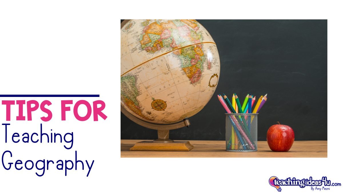
5 Tips For Teaching Geography
I love geography - but hated it as a student. I remember being so bored in geography class. All I remember was memorizing a lot of maps.
In college, I took a class on human geography - and it was absolutely one of the best classes I ever took. And the sessions were mostly lectures - yet students never missed, because the professor kept us engaged the entire time,often injecting a lot of personal knowledge that wasn’t found in textbooks.
Now, I will admit that part of my attitude change may have been age-related - I could focus longer at 20 than at 13. Plus, I knew which learning strategies worked for me that I had not yet realized in middle school.
When I started teaching geography, I also had to figure out what worked for students and what didn’t. There is no magic formula that will work for every student.
One time, I had one brilliant student who absolutely hated coloring maps - and I eventually realized she was an auditory learner. Every class of students is different, and we have to constantly tweak our lessons to best fit our current class.
However, I have five tips that are great starting points for any geography teacher.
1. Pretest Knowledge
In the beginning, I often assumed students had a basic knowledge of geography. I learned not to assume that fast. (I had many middle school students who did not know they lived 15 minutes from the Atlantic Ocean…)
I firmly believe students need to have a working knowledge of the world map - or the U.S. map in American history. It is hard to understand the history and culture of a place if you don’t understand its location.
Always check your students’ geographic understanding. A quick formative assessment of the continents and oceans will tell you whether you need to spend time on the basics or you can skip them. (Reviewing material students already know is a quick way to turn them off at the beginning of the year.
2. Chunk Map Work
I had to learn this the hard way. It is infinitely harder for people, especially those with weak spatial skills, to memorize a large map at one time. It is much better if teachers break a continent into regions first, then put them together as a whole.
Think about it - the brain works in 3 - 4 bits of information at a time. (That is why phone numbers, social security numbers, etc, are broken into smaller chunks.)
My students were far more successful if they worked on, for example, East Africa, then North Africa, then Central Africa, etc, and then put the entire continent together at the end.
It is also easier to work on country names first, then add the physical features. Otherwise it is a lot of information that gets all jumbled in students’ minds.
3. Relate Geography to “Real” Life
I have always been dumbstruck that people don’t believe it is important to have a working knowledge of geography. I have even had parents ask why their students should learn where rivers are when they can just Google the information.
Making direct connections between geography and real life can prevent these attitudes - and it also piques students’ interest. I often discussed:
How geography affected or caused a current event.
How physical geography influenced the development of a culture.
Why it was important to know the physical geography when planning a trip.
How geography impacted students’ daily life.
Interesting yet little known geography facts related to whatever we were studying.
Kids want to know why and how information will help them in the future. Making these types of connections will do that and help increase student engagement in your class.
4. Integrate Movement and Tactile Learning
Like my auditory student, it is important that we meet the learning needs of all students. For many students, they really need help developing their spatial skills. As young children spend more time on screens and less time on spatial activities such as blocks or playing outside, they are not developing the ability to “see” things in their head.
A few ideas for tactile and kinesthetic activities:
Paint a map on your playground. Yes, it takes time, but it makes it so easy to go outside for a break and “play” on the map. I would call out a state, pick a student, throw them the ball, and they would run to stand on the map.
Use chalk to draw sidewalk maps or other activities. Time zones are a lot more fun when you draw the zones on the ground, then have students “fly” across the zones, calculating the time change as they go.
Use Play-doh or homemade salt dough to create landforms or maps.
Create a map center by purchasing two maps of the same size - one with countries or states labelled, and the other unlabelled. Laminate both maps, but cut out the countries or states on the labelled map. Use Velcro to turn the maps and pieces into a center. (I used this with students as young as second grade.)
Use Clip Cards to create a hands-on activity that students can use independently.
5. Emphasize & Illustrate Vocabulary
Students can improve their understanding of geography by illustrating the vocabulary. In their notes, have students write the definitions and draw a quick image of geographic terms.
U.S. Geography Integrated Bundle
Are you teaching U.S. geography to upper elementary students? My U.S. Geography Bundle integrates social studies standards with language arts. The bundle includes:
Informational texts on physical geography of the United States.
Paired Passages relating to Florida’s geography and a text-based writing prompt.
A Research Project that allows students to learn more about the tribe of their choice.
Exit Tickets to check students’ understanding or for spiral review throughout the year.
Clip Cards to learn the U.S. states.


